Outer Banks mileposts, explained
“It’s at Milepost 6 on the Beach Road.” Here’s how the Outer Banks milepost system works — and a map of what’s where.
Outer Banks mileposts (MP) are numbered markers along US-158 (the “Bypass”) and NC 12 (the “Beach Road”) that count south from about MP 0 at the Wright Memorial Bridge in Kitty Hawk through Kill Devil Hills and Nags Head to Whalebone Junction around MP 16.5. Locals use them instead of street addresses.
- Kitty Hawk: roughly MP 0–4.5
- Kill Devil Hills: roughly MP 4.5–10
- Nags Head: roughly MP 10 and south
- Duck, Southern Shores & Corolla use street addresses on NC 12 rather than mileposts
How the milepost system works
Two parallel roads run the length of the central Outer Banks. US-158, called the Bypass or Croatan Highway, is the faster four-lane road. NC 12, called the Beach Road or Virginia Dare Trail, runs closer to the ocean. Green milepost markers on both roads are aligned, so “MP 6” means roughly the same spot whether you’re on the Bypass or the Beach Road.
When someone gives you a milepost, ask which road — “MP 6, Beach Road” and “MP 6, Bypass” are a few blocks apart but on different streets. Many restaurant ads and rental listings include both the milepost and the road.
Why it matters for your rental
Mileposts are the fastest way to judge how close a rental is to what you want to do. Our homes are at MP 3¾ on the Beach Road in Kitty Hawk — under a mile from Black Pelican and the Bath House beach access, about 4 mileposts from the Wright Brothers Memorial, and about 8 from Jockey’s Ridge.
What’s at each milepost
Approximate locations for landmarks, restaurants and our homes. Town boundaries are approximate.
Frequently asked questions
Where does Milepost 0 start on the Outer Banks?
The milepost system starts at roughly MP 0 near the Wright Memorial Bridge, where US-158 reaches the Outer Banks in Kitty Hawk, and counts up heading south.
What is the difference between the Bypass and the Beach Road?
The Bypass is US-158 (Croatan Highway), the main four-lane road. The Beach Road is NC 12 (Virginia Dare Trail), a two-lane road closer to the ocean. Both carry milepost markers.
Does Duck use mileposts?
No. Duck, Southern Shores and Corolla generally use street addresses along NC 12 (Duck Road / Ocean Trail) rather than milepost markers.
What milepost is the Wright Brothers Memorial?
About Milepost 7.5 on the Bypass in Kill Devil Hills.
What milepost is Jockey’s Ridge?
About Milepost 12 on the Bypass in Nags Head.
Our oceanfront homes in Kitty Hawk
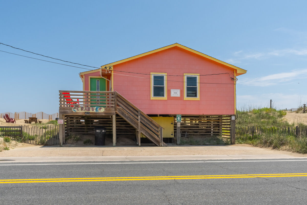
Three dog-friendly oceanfront homes side by side at Milepost 3¾ — book one, or all three for up to 29 guests.
Crab House
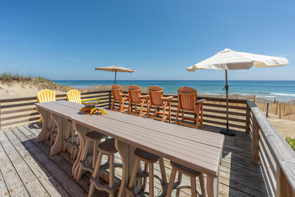
Single-level living, an extra-large oceanfront deck and a gated yard for your dog — steps from the sand.
Mermaid
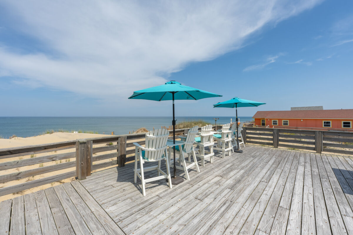
A 500 sq ft oceanfront deck, gourmet three-oven kitchen, wet bar and a king suite with a jetted tub.
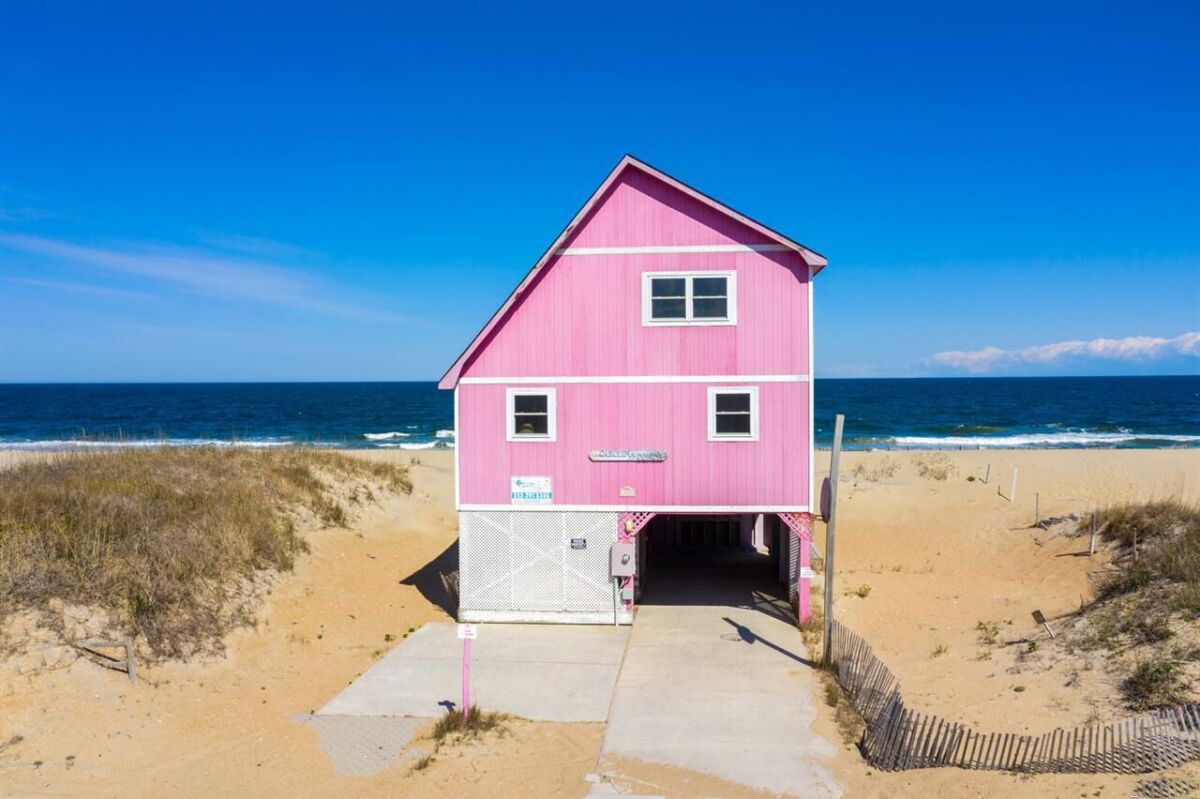
A Carolina Conch
Classic two-story Outer Banks cottage with wraparound ocean views, carport parking and baby gear on hand.